Nha Trang to Da Lat by Motorbike: The Complete Guide
Ride from the beaches of Nha Trang to the cool highlands of Da Lat by motorbike — route options, road conditions, what to see, where to stop, and everything you need for this classic Vietnamese ride.
Why this ride is special
The Nha Trang to Da Lat ride takes you from sea level to 1,500 meters in just 140 km. You start on the tropical coast — palm trees, beaches, warm salt air — and end in a French colonial hill station surrounded by pine forests, misty mountains, and strawberry farms. The temperature drops 10–15°C along the way.
It's one of Vietnam's most dramatic landscape transitions, and on a motorbike you feel every meter of altitude change. The road climbs through rubber plantations, coffee farms, waterfalls, and ethnic minority villages before reaching the cool highlands of the Central Plateau.
Most riders do it in a single day (4–5 hours of riding), but taking two days with an overnight stop lets you enjoy the waterfalls and viewpoints without rushing.
The routes
Route 1: Highway QL27C (140 km, 4–5 hrs)
The most popular and direct route. Well-paved, well-signed, and stunningly scenic.
The ride: Leave Nha Trang heading west on QL27C. The road climbs steadily through coastal lowlands into coffee and rubber country. Around km 60, the serious climbing begins — switchbacks through pine forests with increasingly dramatic views. The final approach to Da Lat is through misty highlands and flower farms.
Highlights:
- Yang Bay Waterfalls (km 45) — a multi-tiered waterfall complex with natural pools
- Elephant Falls (km 25 from Da Lat) — a powerful waterfall you can climb behind
- Coffee plantations — the Central Highlands produce most of Vietnam's coffee
- The dramatic temperature change as you climb
Route 2: Via Ninh Hoa and QL26/QL27 (200 km, 6–7 hrs)
A longer but less-travelled route through the northern highlands.
The ride: Head north from Nha Trang to Ninh Hoa, then west on QL26 through the Ea Kar highlands. Join QL27 south to Da Lat. More remote, fewer tourists, rougher roads in places.
Best for: Experienced riders who want a less touristy experience and don't mind longer riding days.
Our recommendation
Take Route 1 (QL27C). It's the better road, the scenery is spectacular, and you can stop at waterfalls along the way. Save Route 2 for a future trip if you want to explore the deeper highlands.
Road conditions
QL27C quality
The road is good to excellent for most of its length. It was resurfaced in recent years and is well-maintained. You'll encounter:
- Flat coastal section (0–40 km): Wide, flat, easy riding through lowlands.
- Climbing section (40–100 km): The road narrows and starts climbing. Well-paved switchbacks through forest. Some sections have loose gravel on the shoulders.
- Highland section (100–140 km): Rolling hills through pine forests and farms. Beautiful, easy riding.
Challenges
- Weather change: You'll ride from 30°C heat into 15–20°C mountain air. Pack a jacket you can pull on mid-ride.
- Fog: The upper sections (above 1,000 m) can have thick fog, especially in the afternoon and during rainy season. Reduce speed and use your headlight.
- Trucks: QL27C is also a freight route. Heavy trucks use the lower gears on climbs, creating slow-moving obstacles on the narrow mountain sections. Pass with caution.
- Rain: Afternoon showers are common year-round in the highlands. The road gets slippery — painted road markings become skating rinks.
When to go
Best months: December–March
Cool, dry, and clear. Da Lat temperatures are pleasant (15–25°C), and the coastal end in Nha Trang is warm without being oppressive.
Good: April–May
Warming up but still dry. Wildflowers blooming along the route.
Avoid: September–November
Peak rainy season in both Nha Trang and Da Lat. Heavy afternoon downpours, poor visibility in the mountains, and occasional road flooding.
June–August
Mixed — dry in Nha Trang, but afternoon rain is common in Da Lat. Rideable if you start early and plan to arrive by early afternoon.
Which bike to ride
This route is suitable for all bike types, but some handle it better than others:
Scooter (Honda Vision, Lead, Janus)
Works fine. The road is paved throughout. The climb is long but gradual — a 125cc scooter handles it without drama. You'll be at full throttle on the steepest sections, but you'll make it.
Semi-auto (Honda Wave, Blade)
Arguably the best choice for this route. The gear system gives you engine braking on descents (important on a 40 km downhill), and they're light enough to be easy on switchbacks.
Manual (Kawasaki Versys-X 300, Honda CB500X, Honda Winner X)
More power than you need for this route, but comfortable and confidence-inspiring. The Versys-X 300's high riding position and long-travel suspension are excellent for mountain switchbacks, and the CB500X makes the 1,500 m climb feel effortless.
What to see and do
Along the route
Yang Bay Waterfalls (45 km from Nha Trang) A well-developed waterfall park with swimming areas, hot springs, and a restaurant. Entry fee: 100,000 VND. Worth a 1–2 hour stop.
Prenn Waterfall (10 km before Da Lat) A wide, accessible waterfall right off the main road. You can walk behind the curtain of water. Entry: 30,000 VND.
Elephant Falls (25 km from Da Lat, short detour) One of the most impressive waterfalls near Da Lat. A steep, slippery trail leads behind and below the falls. Not for the faint of heart, but spectacular.
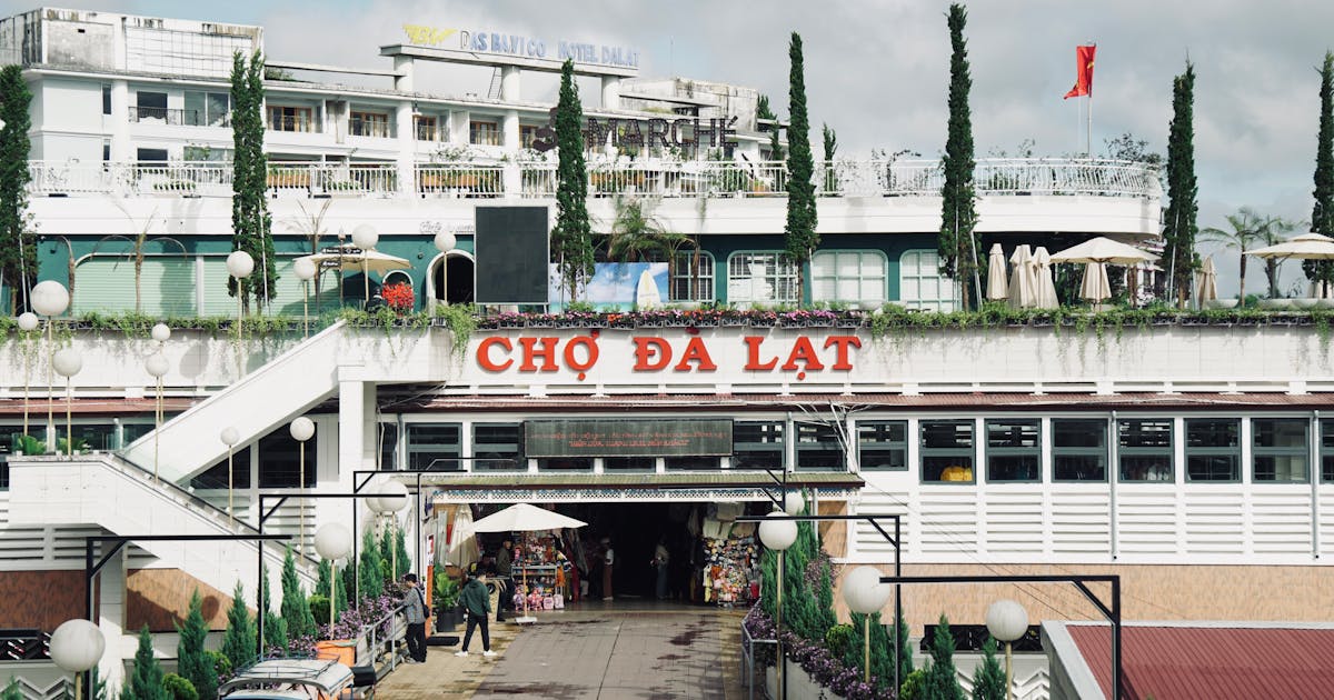
In Da Lat
Da Lat deserves at least 2–3 days. Highlights:
- Da Lat Night Market — the heart of the city. Street food, shopping, people-watching.
- XQ Hand Embroidery — a museum/gallery of incredibly detailed embroidery art. Unique to Da Lat.
- Bao Dai's Summer Palace — the last emperor's highland retreat.
- Langbiang Mountain — ride or hike to the summit for panoramic views of the Central Highlands.
- Crazy House (Hang Nga) — a surreal, Gaudi-inspired guesthouse/art installation.
- Coffee culture — Da Lat produces some of Vietnam's best coffee. Visit a plantation or just drink in one of the city's countless atmospheric cafes.
- Canyoning — Da Lat is Vietnam's canyoning capital. Rappel down waterfalls, slide through natural water chutes, and cliff jump. Book through a reputable operator.
Food in Da Lat
Da Lat's food scene is unique in Vietnam — cooler climate means different ingredients:
- Banh trang nuong — Vietnamese pizza. Rice paper grilled over charcoal with egg, scallion, and chili. Street food at its best.
- Nem nuong — grilled pork sausage wrapped in rice paper with herbs and dipping sauce.
- Strawberries and artichokes — Da Lat's highland climate grows things you won't find elsewhere in Vietnam.
- Soy milk — hot, fresh soy milk is a Da Lat staple. Perfect on a cold morning.
Budget
This is one of Vietnam's most affordable rides. Budget for bike rental, fuel (the route uses very little), waterfall entry fees, lunch on the road, and a night's accommodation in Da Lat. Browse our fleet for current bike rental pricing.
Reverse route: Da Lat to Nha Trang
Many riders do this route in reverse — starting in Da Lat and riding down to the coast. The advantage: you're descending most of the way, which is easier on the engine and gives you gravity on your side.
The disadvantage: long descents are harder on brakes, and the constant downhill can be fatiguing for your hands (brake squeeze) and knees. Take breaks.
One-way rental logistics
If you're riding one-way (Nha Trang to Da Lat or vice versa), you'll need a rental shop that allows drop-offs in a different city. Not all shops offer this.
At 247 Motorbikes, we can arrange rentals with flexible pickup and drop-off locations across Vietnam. Get in touch to plan your route.
Frequently asked questions
How long does the ride take? 4–5 hours of pure riding time. Allow 6–8 hours with photo stops, waterfall visits, and lunch.
Is the road safe? Yes — QL27C is one of the better mountain roads in Vietnam. Paved throughout, reasonable width, and gradual gradients. Just watch for trucks on the climbing sections.
Can I do it on a scooter? Absolutely. A 125cc scooter handles this route fine. The climb is gradual enough that you won't stress the engine.
What should I wear? Start in light clothes for the coast, but carry a jacket and long pants. By the time you reach Da Lat, you'll want them. The temperature difference is dramatic.
Is there fuel along the route? Yes — several petrol stations along QL27C. Fill up in Nha Trang and you'll find stations roughly every 30 km.
Can I continue from Da Lat to Ho Chi Minh City? Yes — it's about 300 km and 6–8 hours. A popular route that takes you through the highlands and down to the coastal lowlands. Consider breaking it into two days with a stop in Bao Loc.
Related articles
Vietnam-Laos Border Crossing by Motorbike
Everything you need to know about crossing the Vietnam-Laos border with a motorbike — which crossings work, required documents, current restrictions, and practical tips for 2026.
Route GuideDa Nang to Hoi An by Motorbike: Rental & Route Guide
How to ride from Da Nang to Hoi An by motorbike — the best route via the coast or countryside, rental options, the Hai Van Pass detour, and tips for exploring Central Vietnam on two wheels.